By admin | May 23, 2026 | (Newsweek.com)

By Jasmine Laws
Newsweek is a Trust Project member
Scientists are warning that the collapse of Antarctica’s massive “doomsday glacier” could eventually redraw large parts of America’s coastline, threatening major cities from Florida to California with severe flooding and rising seas.
Researchers say the Thwaites Glacier in West Antarctica is becoming increasingly unstable, raising fears that its eventual collapse could contribute to dramatic long-term sea level rise.
While the glacier itself could add around 65 centimeters (roughly 2 feet) to global sea levels, some scientists worry it could destabilize much larger sections of the West Antarctic Ice Sheet—potentially contributing to sea level rise approaching 3 meters (nearly 10 feet) over time.
Read More on Environment
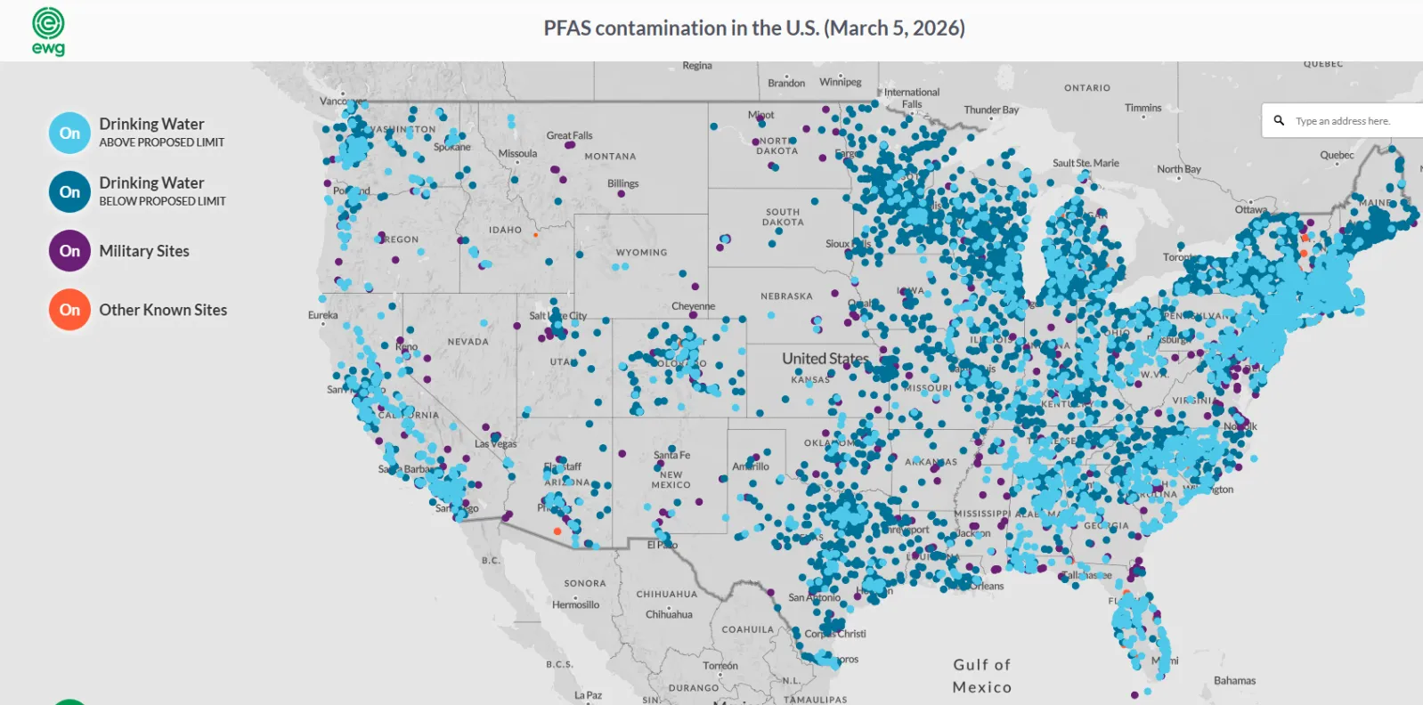
Map Shows Drinking Water ‘Forever Chemicals’ as EPA Plans to Scrap Limits8 min read
Trump Phones Are Finally Here—And People Aren’t Happy6 min read

How Super El Niño Could Impact Lake Powell, Lake Mead’s Water Crisis5 min read

Such a rise would dramatically alter large stretches of the U.S. coastline, threatening homes, infrastructure, airports and major cities across several states.
Glacier On The ‘Cusp of Collapse’
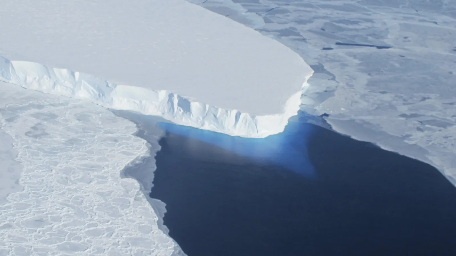
The Thwaites Glacier in Antarctica is seen in this undated NASA image. Right now, Antarctica and Greenland ice sheets both contribute under or near 1 …Read More | NASA/Reuters
David Holland, a professor of mathematics and atmosphere/ocean science at New York University, told Newsweek that the glacier is on the “cusp of collapse,” and that he was “concerned” about it.
“It is held back on its sides by the buttressing provided by the ice shelf in front of it, which is now about to collapse,” he explained. The glacier is also held back by “a hump in the seafloor at its current grounding line,” he added, which he said “may be next to go, given the high rate of melt occurring there.”
The result of the glacier’s collapse would be vast. Holland said that “certainly, low-lying cities and states in the U.S. would experience floods,” while many other cities and countries would “undergo stress” as well.
Which American Cities Could Be Flooded?
National Oceanic and Atmospheric Administration (NOAA) projection maps show that a 3-meter rise in sea levels would inundate major parts of the U.S. coastline, with some of the country’s most populated urban areas facing chronic flooding or partial submersion.
Eastern Seaboard and Gulf Coast
Florida would be among the hardest-hit states. Large parts of the coastline could disappear beneath rising seas, while cities including Jacksonville, Fort Lauderdale, Tampa, St. Petersburg and Panama City would face severe flooding risks. Large stretches of low-lying coastal communities across the state could also become uninhabitable.
Large sections of the Gulf Coast would also be exposed. Cities and communities along the Texas coastline near Galveston Bay, Freeport and Surfside Beach could see extensive inundation, while low-lying parts of Louisiana, including areas around New Orleans, would remain especially vulnerable.
Other coastal cities at risk include Charleston, South Carolina; Savannah, Georgia; Norfolk and Virginia Beach, Virginia; Wilmington, North Carolina; Baltimore, Maryland; and parts of New Jersey, Delaware and Mississippi.
New York City would face widespread flooding risks across parts of Brooklyn, Queens, Staten Island and Lower Manhattan. Critical infrastructure, including Newark Liberty International Airport and nearby transport links, could also be affected. MetLife Stadium in New Jersey—one of the venues for the 2026 FIFA World Cup—lies within an area vulnerable to flooding under NOAA’s projections.
West Coast

A screenshot of an NOAA map showing which U.S. cities would be underwater if there was a 10-foot sea level rise. | NOAA
In California, areas around the San Francisco Bay, Oakland, San Mateo and parts of Southern California near San Diego and Oxnard would also face major impacts.
Notable parts of the landscape and wildlife reserves could also be affected, including Big Lagoon, the Brush Creek/Lagoon Lake Wetlands and Coastal Dunes Natural Preserve, the Ventura County Game Reserve as well as vast amounts of the California Coastal National Monument.
Why Scientists Are Worried by the Thwaites Glacier
Thwaites is the widest glacier on the planet, stretching around 120 kilometers (75 miles), and its basin measures around 192,000 kilometers squared, meaning it is larger than the state of Florida.
Over the years, Thwaites—located in West Antarctica—has been losing ice at an increasing pace, and since 2000 the glacier has experienced a net loss of more than 1 trillion tons of ice.
The tongue of the glacier—which is the extension that floats out over water—has continued to fracture and separate from the ice shelf in recent years, as images from NASA show. The floating ice is now melting, given that the seawater is a few degrees above freezing as warmer water temperatures have recently been recorded in the region.
Update 5/20/26, 8:15 a.m. ET: This article has been updated with comment from David Holland.